The area of Britomart, built on reclaimed land, was the location of Auckland City's railway station from 1885.
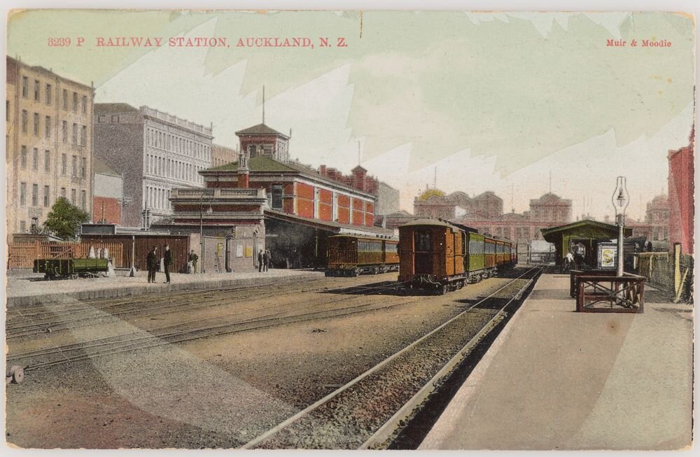
1909: Auckland’s early station. (Photo credit: Muir & Moodie studio. Purchased 1998 with New Zealand Lottery Grants Board funds. Te Papa (PS.002560)
In 1930 the station was relocated 1.2 km east to Beach Road and the former station site became the municipal bus terminal in 1937.
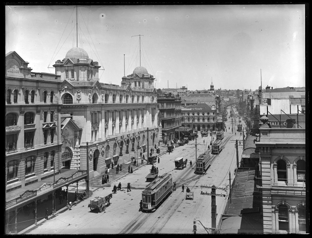
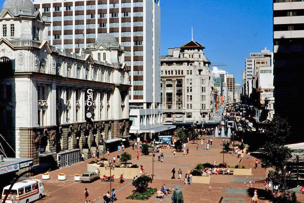
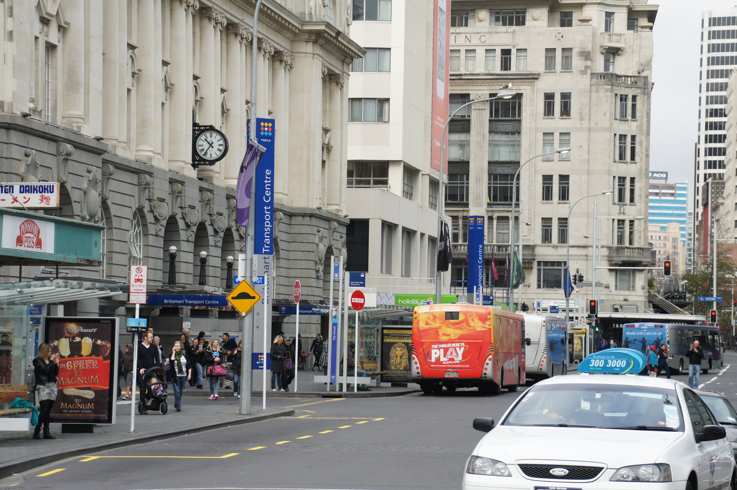
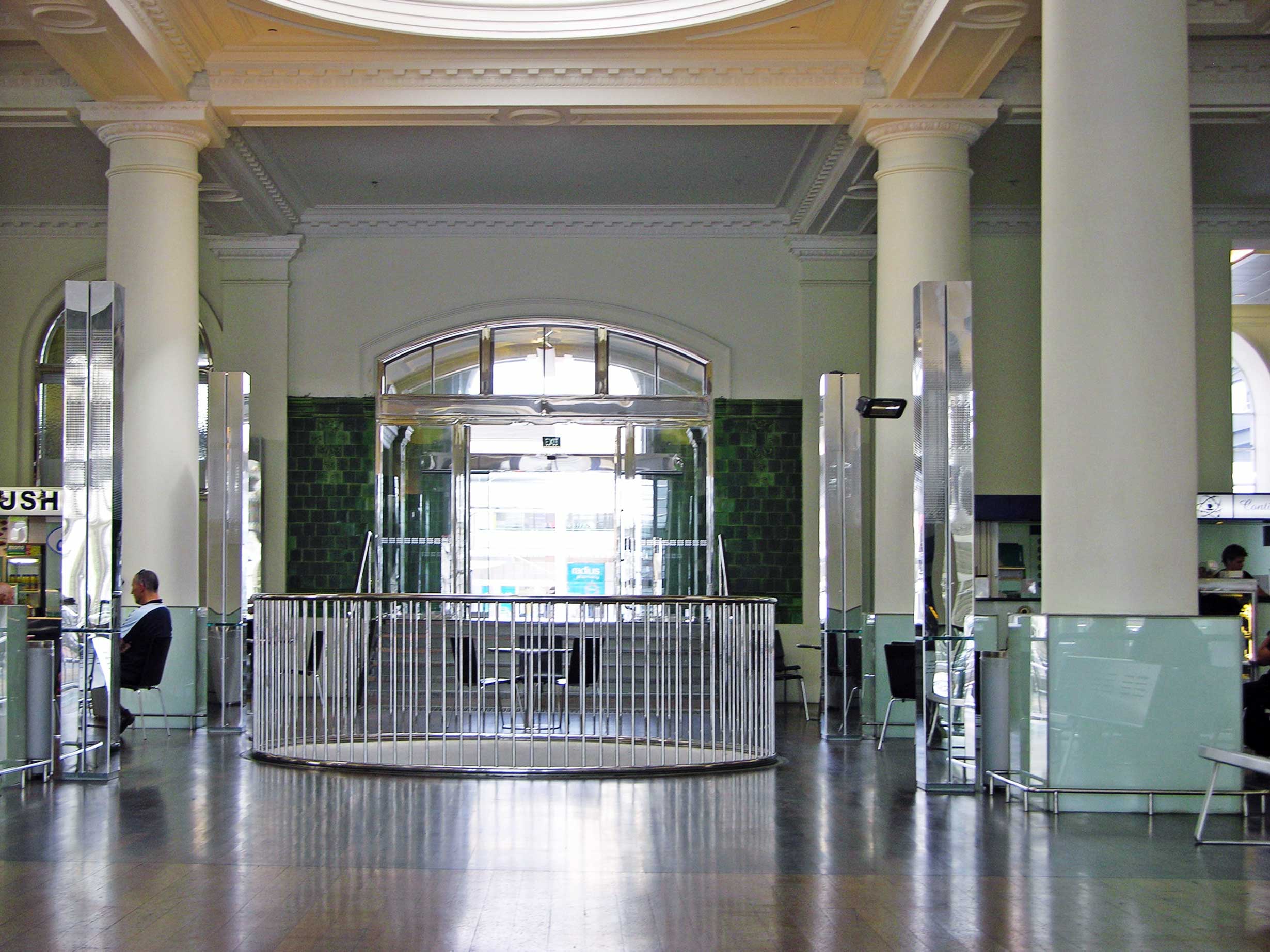
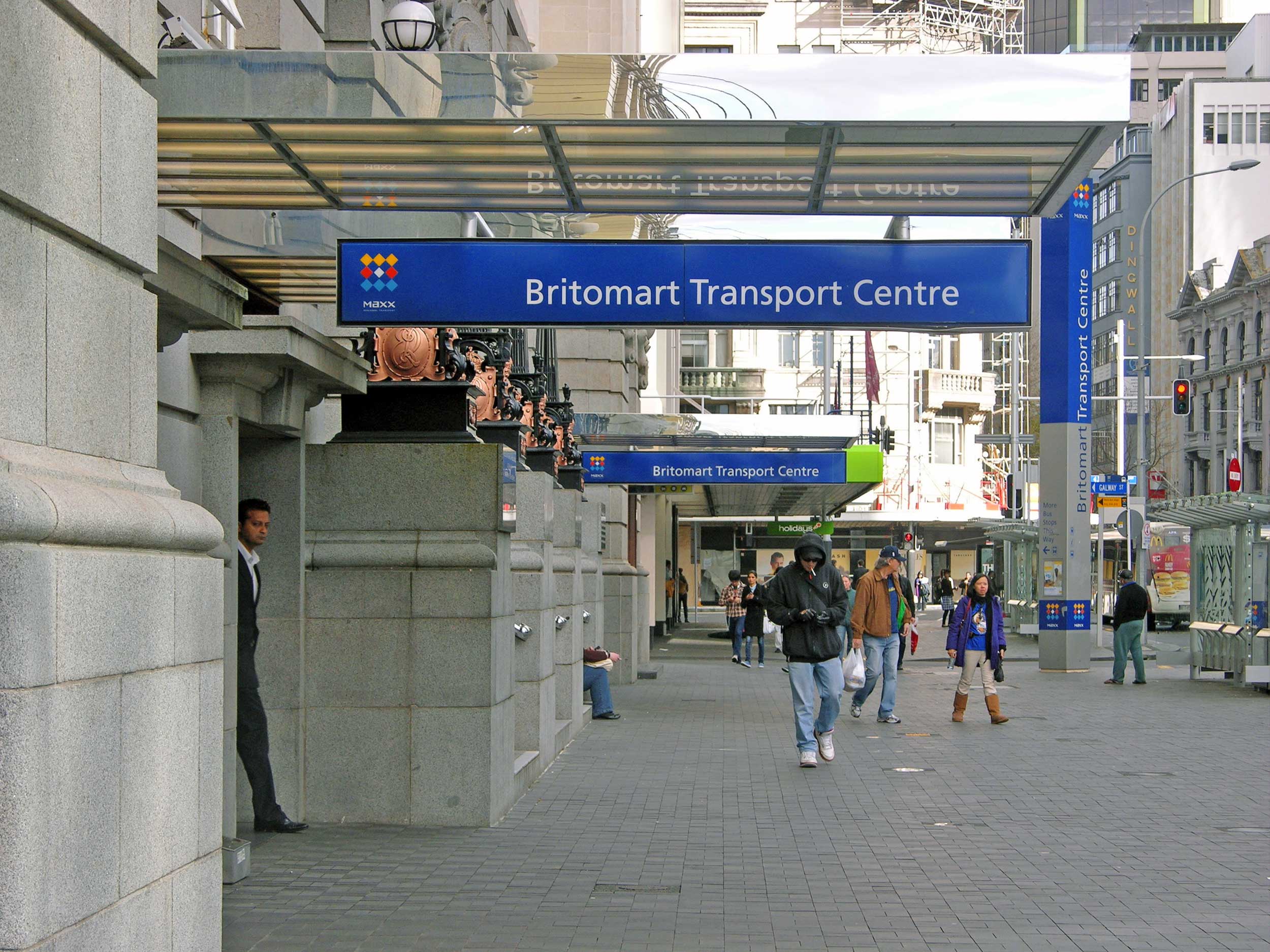
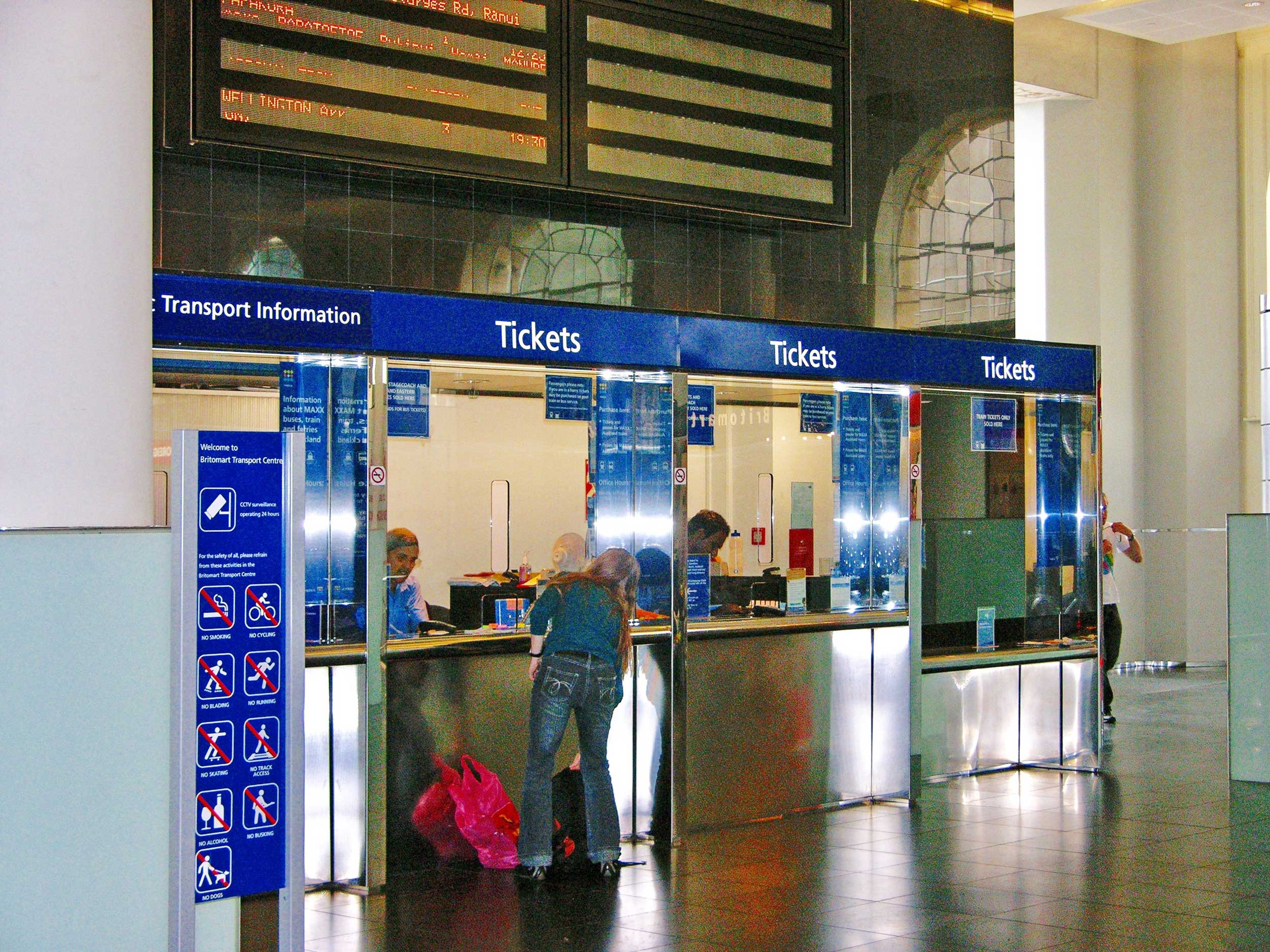
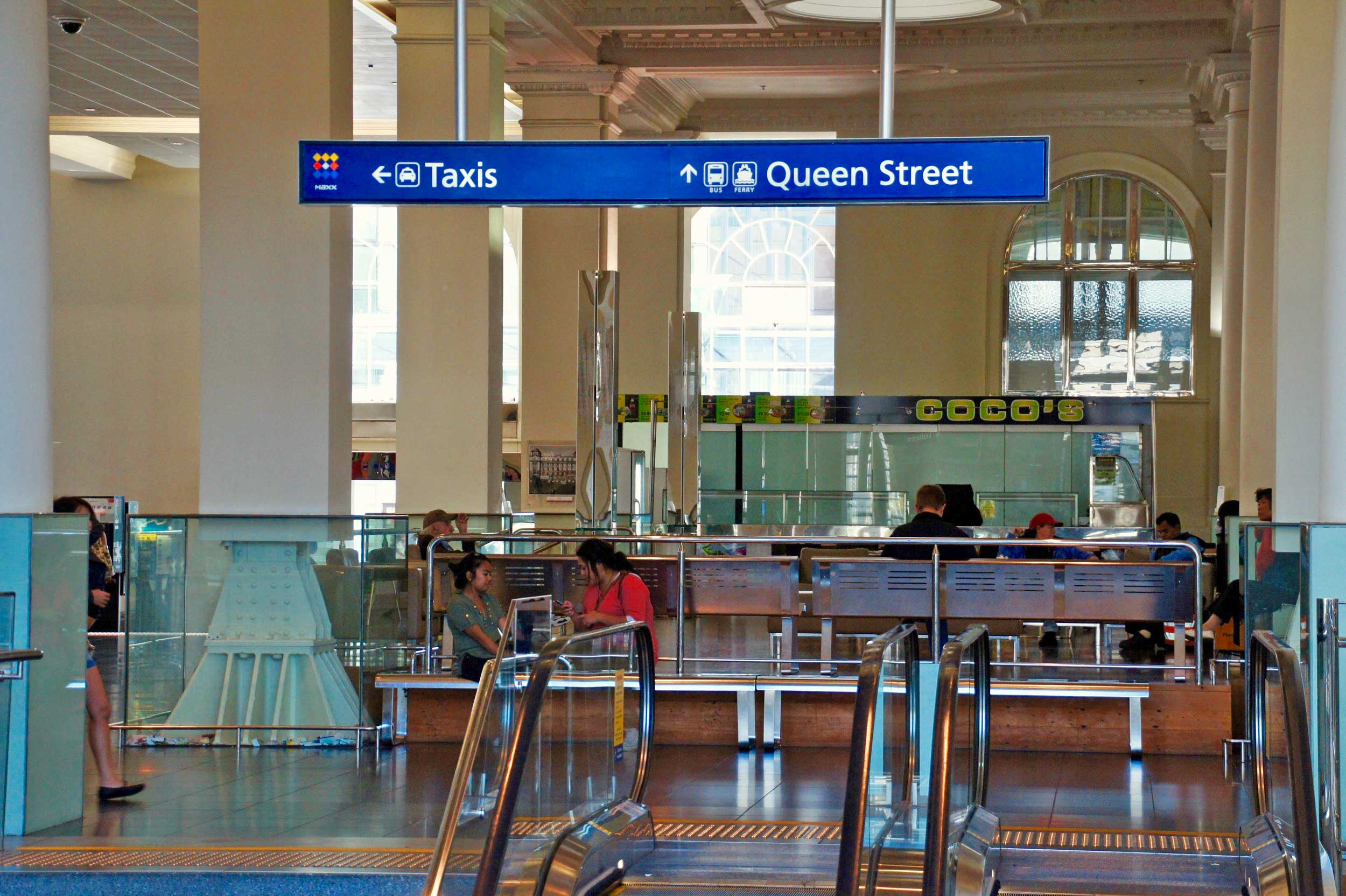
Auckland's centrally-based Chief Post Office (CPO), at the foot of Queen Street, was completed in 1912. Auckland's central train station returned to the Britomart area when the Britomart Transport Centre was created in that former and refurbished CPO building in July 2003. It became the stimulus to drive the redevelopment of the surrounding Victorian warehouse precinct for retail and other commercial use.
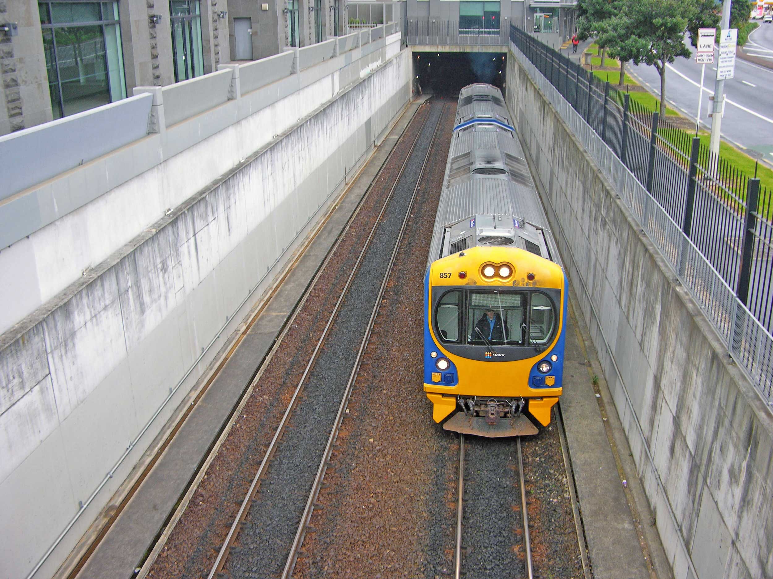
For years, thousands of train passengers have poured into the Britomart Transport Centre daily as they dash to catch a train on the platforms below. This is now a hive of construction activity as work continues to turn the dead-end station into a through station.
In the beginning
EARLY DAYS: Commercial Bay and Shortland Street in 1841 (Image: Sir George Grey Special Collections, Auckland Libraries, 4-9089)
Most of Britomart was underwater until the 1870s. It is now on reclaimed land in the middle of what was once Commercial Bay.
Former headland Point Britomart was once the site of Fort Britomart, an active base for British colonial troops in the 1860s. Its name was taken from a Royal Navy gunship, HMS Britomart, which carried out the first detailed survey of the Waitematā Harbour in 1841.
Before the arrival of Europeans, this headland is thought to have been the site of at least one Māori pā. Ngāti Whātua trace ancestral ties to this area, including sites of ancient historical significance.
In 1840 Ngāti Whātua gifted 3000 acres of land to Governor Hobson for the building of a new capital city. Auckland’s first Union Jack flew, marking the site of New Zealand’s first colonial capital.
In the 1870s and 1880s the headland was levelled in order to extend the railway line to the bottom of Queen Street, and was used to fill in Commercial Bay.
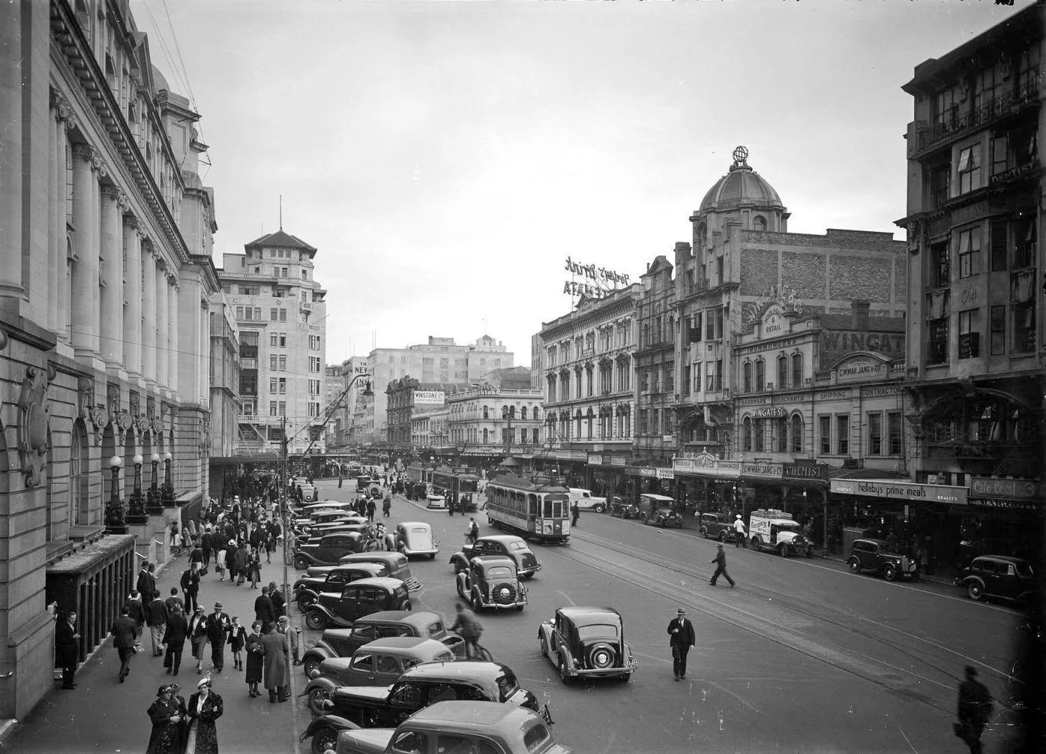
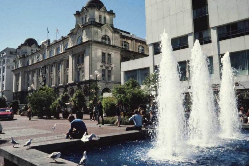
Each improvement in public transport between the years 1840 -1914, served to strengthen Queen Street as the heart of commercial, civic and industrial activity in Auckland.
Initially the town had a raw, denuded look; there were no gardens, no trees, nor even grass, just bare earth gouged out and heaped among unpainted wooden structures. The roads were a mire of mud and horse dung that bogged vehicles and caked footwear and clothing.
In response to the perceived threat of the Waikato Māori, British troops were brought in and constructed both Great North and Great South Roads as well as Symonds Street and Manukau Road in the early 1860s.
But as late as 1871 only three streets (Queen Street, Princes Street and Shortland Street) had been properly formed and adequately surfaced with road metal.
Other improvements included gas supply in 1865, piped water in 1866 and the first asphalted footpaths in 1872.
Telegraph, introduced in the 1860s, linked suburbs and many provincial towns and in 1872 Auckland was connected to Wellington and the South Island. However, it wasn't until thirty years later that the first undersea cable to the outside world was laid.
A long-planned railway between Mechanics Bay and Onehunga opened in 1873 and two years later the rail reached as far as Mercer. However, it wasn't until 1908 that the main trunk line was completed, connecting Auckland to Wellington.
The railway station was brought to the foot of Queen Street in 1885 further enhancing this area as the commercial transport hub until its removal to Beach Road in 1930.
EARLY: The Auckland Railway Station in 1909 (Te Papa Collection O.001709)
The grand Chief Post Office
What became the Britomart Transport Centre in Downtown Auckland was originally Auckland’s grand Chief Post Office. It was opened in 1912 by prime minister William Massey in front of a crowd of about 8000.
It was designed by government architect John Campbell and designer Claude Patron in an Imperial Baroque style similar to the Auckland Town Hall further up Queen Street.


Horse drawn trams were introduced in 1884, running a service between Queen Street and Ponsonby Road via Pitt Street and Karangahape Road. At its height in the mid-1890s this service comprised 34 vehicles, 300 horses and 12 feeder buses. The entire horse drawn system was scrapped in 1901 and tracks laid for electric trams.
The Auckland Electric Tramways Co. Ltd was formed in 1899 and electric trams began services to outlying boroughs in 1902. This led to groups of suburban shops along the route, especially at the stops and crossroads. The network was completed when the route reached Onehunga in 1903. In 1919, the Auckland City Council purchased the entire tram system, made further extensions and doubled the tracks to facilitate two-way traffic.
For decades, trams used to run through Queen Street to the CPO. After running from 1902 to 1956, they were replaced by trolley buses. Running from downtown at the Waitematā Harbour and across to Onehunga on the Manukau Harbour, they had been the world's only 'coast to coast' tramway system. For years, they had run down Queen Street to the bottom of Lower Queen Street where there was the Chief Post Office, numerous shops and an early movie theatre called the Oxford.
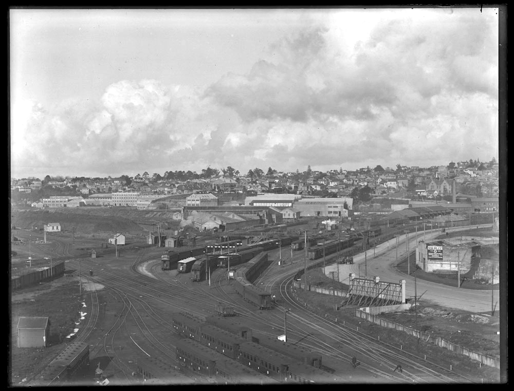
Railway station moves to Parnell
Auckland's main train station was moved to Beach Road in the 1930s.
STRAND: The central station moved from downtown to Parnell and in recent years the building turned into apartments
The area around Britomart station was redeveloped as the "Municipal Bus Terminal" and in 1958 Auckland’s first parking building, Britomart Car Park, was opened next to the bus terminal.
BUSES AND CARS: Auckland's Municipal Bus Terminal and Britomart car park in 1959. (Photo: Sir George Grey Special Collections, Auckland Libraries, 580-3591)
BUS STATION: The downtown Bus Station on the corner of Galway and Commerce Streets, with buildings in Tyler Street (left) behind, and the Britomart Parking Building (right) in 1973. (Photo: Sir George Grey Special Collections, Auckland Libraries, 786-A028-5)
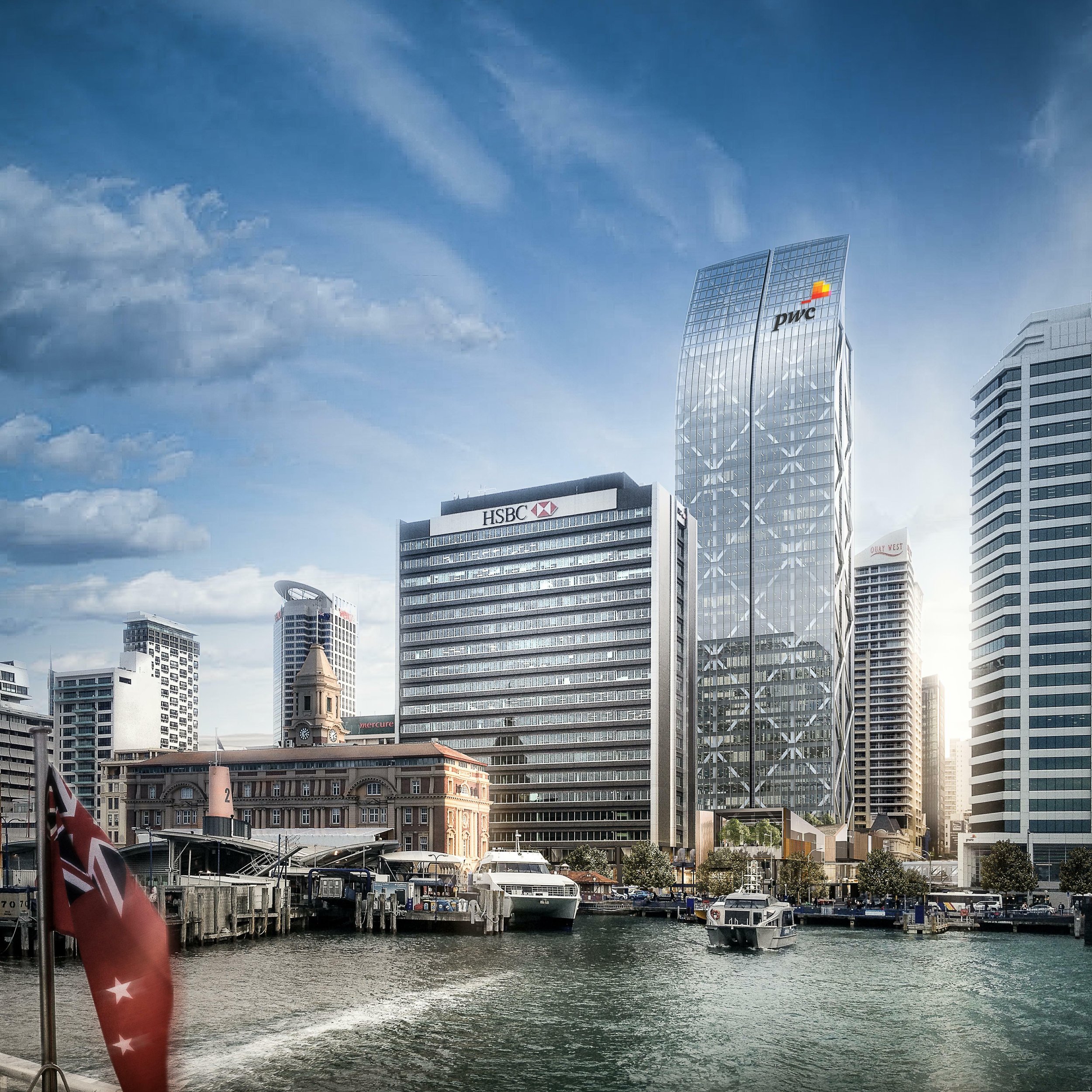
TODAY: This is how the area looks today
Trams stop running in Queen Street
The last tram travelled down Queen Street in 1956.
LAST TRAM: Aucklanders flocked to Lower Queen Street opposite the Chief Post Office to see the last tram run in 1956 before the services ceased and the tram tracks torn up because of a decision that buses would dominate public transport (Photo: Sir George Grey Special Collections, Auckland Libraries, 1207-881)
The first trolley bus circuit had been introduced in 1938 by Farmers Trading Co. in Hobson Street to link its department store to Queen Street.
The Auckland fleet of trolley buses reached 133 vehicles and in 1964 the service was taken over by Auckland Regional Council. These buses were gradually phased out from the late 1970s in favour of the Mercedes diesel buses and the last trolley bus service ran in 1980.
In 1992 the CPO closed and the building fell into disrepair and also suffered fire damage.
In 1995 the Auckland City Council purchased the CPO building and after refurbishment, it opened in 2003 as the main entrance to the transport centre.
There were designs drawn up for an underground bus terminal but nothing eventuated. Some bus services moved to the area outside the Britomart Transport Centre replacing the open space that Aucklanders enjoyed.
Area regeneration inspired by return of the Transport Centre
RESTORED: The Britomart Transport Centre re-opened in 2003. Christine Fletcher was elected Auckland Mayor in 1998 on a "rethink Britomart" platform. She lost the 2001 elections to Britomart critic John Banks, whose name is on the marble plaque because he was the mayor who opened the centre.
The relocation of the central rail station back to the old Chief Post Office Britomart site triggered regeneration of this precinct.
Many of the early warehouse and other commercial buildings remain intact and have been recognised as significant or iconic heritage items in the city. These have been adapted and redeveloped to house boutique offices, galleries, high quality retail and brasseries/cafés.
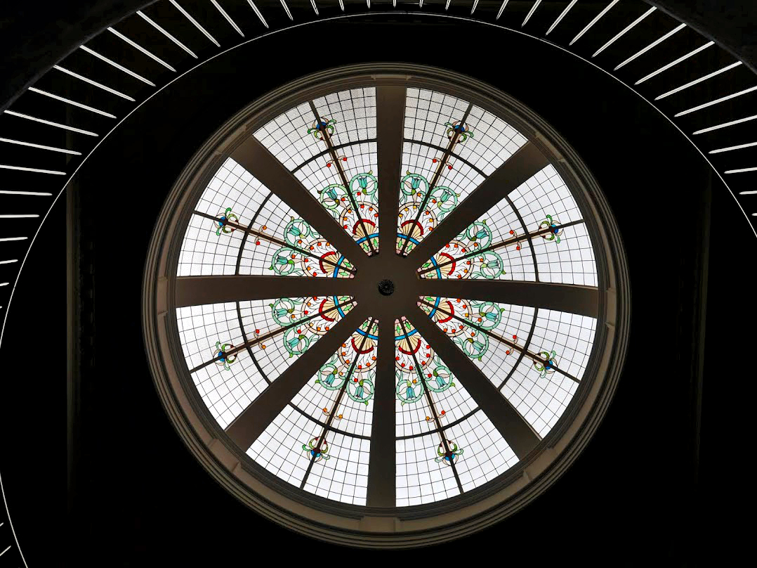
In 2005 Cooper and Company, in consultation with Jasmax and heritage experts Salmond Reed, restored the CPO building including the stained glass dome.
Precinct development announced
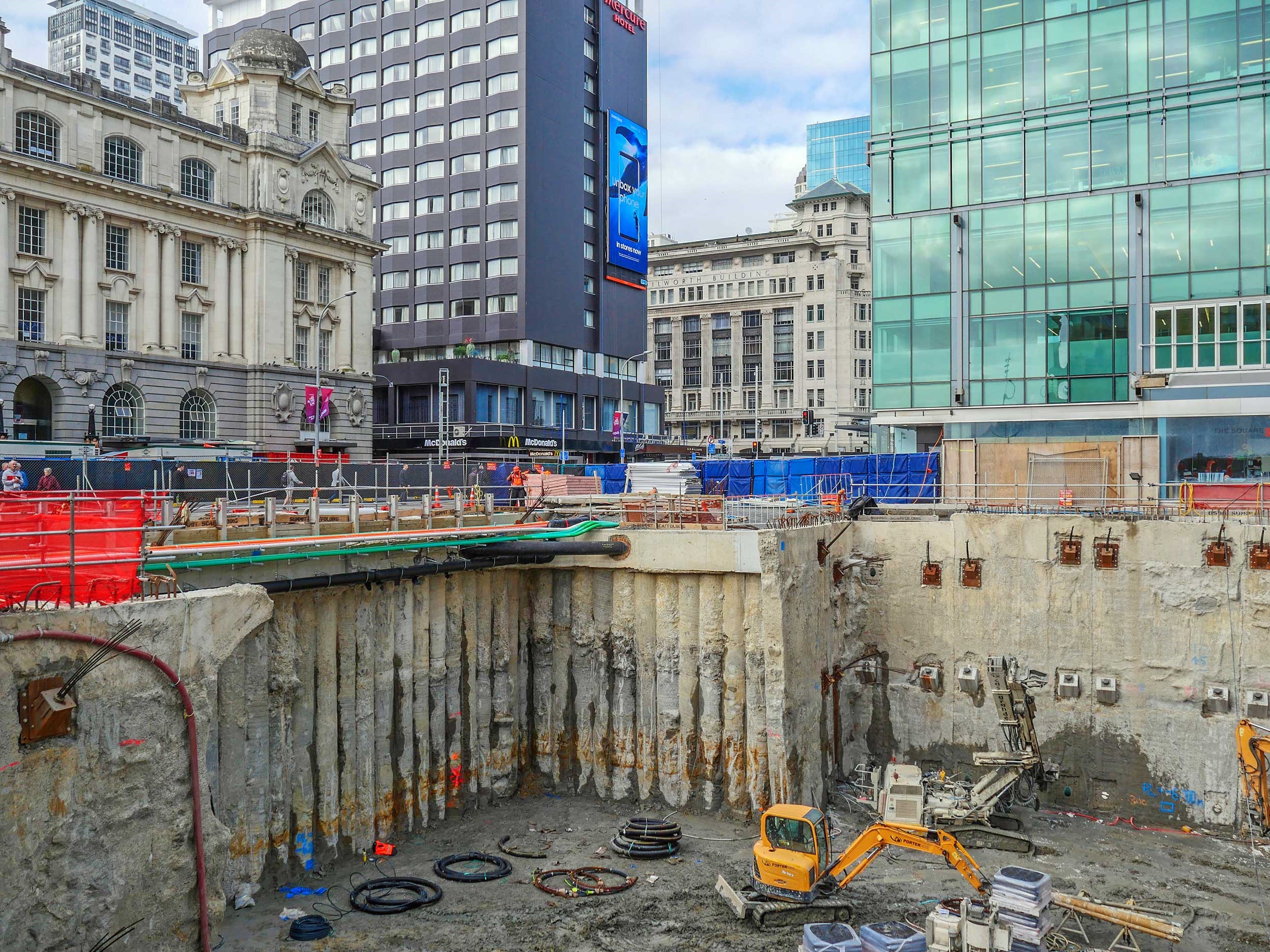
In December 2015, Precinct Properties New Zealand Limited announced a $681 million development including a new 39 level commercial office tower and a world class retail centre on the neighbouring Downtown Shopping Centre site. The shopping centre - after 41 years - closed in May 2016 and was demolished by November that year.
The development was named Commercial Bay, as the area was first called when established as Auckland’s trading hub in the 1800s.
A construction contract for the development was entered into with Fletcher Construction. Reflecting Precinct’s development agreement with Auckland Council, construction also included works to complete the CRL tunnels under the new building.